Greenways
Provide recreation, transportation, fitness, and economic benefits for all to enjoy.
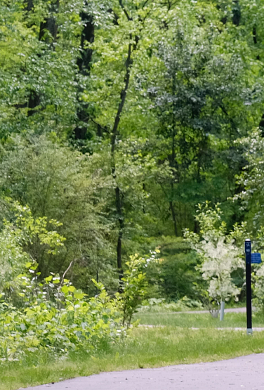
Greenways are linear parks that connect people and places, providing recreation, transportation, fitness, and economic benefits for all to enjoy. These trails also serve as vegetated natural buffers that promote water quality, help reduce the impacts of flooding and provide wildlife habitat. In addition to the County's greenway system, there are numerous miles of mountain bike trails managed by the Tarheel Trailblazers.
Greenway Safety
- In case of an emergency, call 911.
- Share your greenway name.
- Share the closest mile marker or neighborhood exit address.
Total Mileage
Trail Mileage Summary (Updated May 2025):
- Greenway Trails – 82.5 Miles
- Greenway Access Trails – 25.5 Miles
- Urban Trails – 30.4 Miles
- Nature Preserve Trails – 78.2 Miles
- Park Trails – 225.5 Miles (115.7 miles of paved trail and 109.8 miles of natural surface)
- Numerous miles of mountain bike trails managed by the Tarheel Trailblazers.
Greenway Listing
-
Briar Creek Greenway
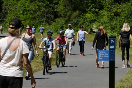
Three sections: 0.42 miles Arnold Drive to Masonic Drive, 0.9 miles behind Myers Park High School, and 1.0 mile between Randolph Road and Meadowbrook Rd.
-
Caldwell Station Greenway
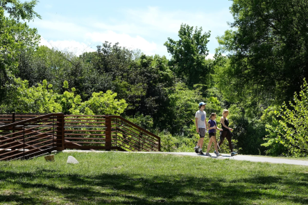
2.6 miles connect Statesville Road to Bailey Road Park (on Old Statesville Road).
-
Campbell Creek and Upper McAlpine Creek Greenways
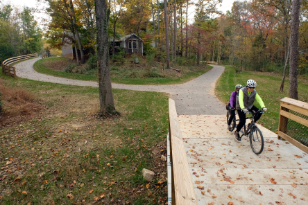
5.8 miles of trail from Lockmont Dr. to Providence Rd.
-

Four Mile Creek Greenway
3.3 miles connecting downtown Matthews with Squirrel Lake Park and from E. John St. to S. Trade St. with connections to the Matthews Heritage Trail and Matthews Sportsplex. Additional sections of the trail are part of the Lower McAlpine/McMullen trail network.
-
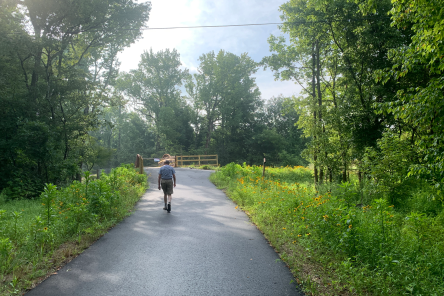
Irvins Creek Greenway
1.5 miles connecting Idlewild Rd. and Idlewild Road Park to Lakeview Cr. and Sam Newell Rd.
-
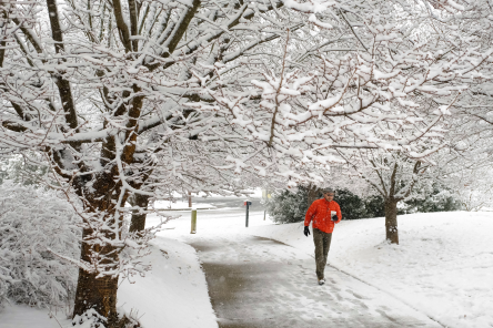
Irwin Creek, Stewart Creek and Wesley Heights Greenways
Three independent sections: 2.7 miles from State St. to Cedar St. with a connection to Freedom Dr., 1.7 miles from West Blvd. to Clanton Rd., and 1.0 mile of Stewart Tributary Greenway from Lakewood Ave. to Yellowstone Dr.
-
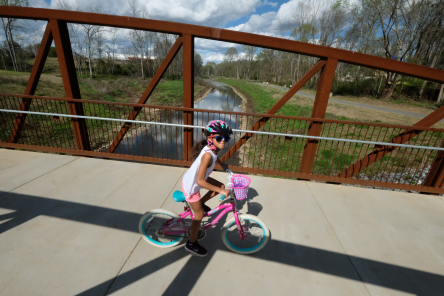
Little Sugar Creek Greenway
Over 17 miles of trail from Brevard St. in NoDa to the South Carolina State line. Little Sugar Creek Greenway is also part of the Cross Charlotte Trail.
-
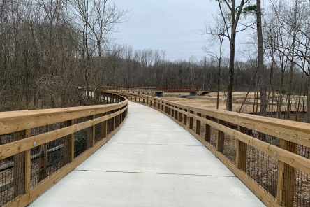
Long Creek and Dixon Branch Greenways
3.5 miles I-77 east of Reames Rd. and I-485 near Trotter Rd., as well as from Long Creek to Northlake Centre Pkwy. on Dixon Branch.
-
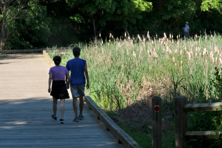
Lower McAlpine, McMullen Creek and Four Mile Creek Greenways
7.3 miles through south Charlotte from Hwy 51 to Johnston Rd. and Rea Rd. This trail network includes the Little Sugar Creek/McMullen Creek Connector to Park Rd. and the Ballantyne Connector Trail to Ballantyne Corporate Pl.
-
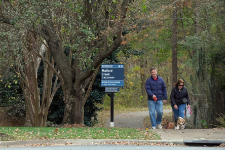
Mallard Creek, Barton and Clarks Creek Greenways
7.6 miles from Fairlea Dr and Amaranthus Ct. to Mallard Creek Church Road. Mallard Creek Greenway also connects to Toby Creek Greenway, which are both portions of the Cross Charlotte Trail. Mallard, Barton, and Clarks Creek Greenway trails also connect to Toby Creek Greenway.
-
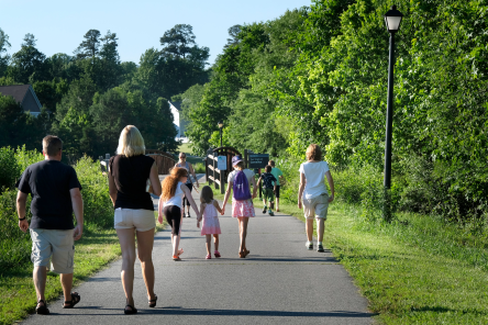
McDowell Creek Greenway
3.25 miles from McDowell Farms Dr. to Hwy. 73 at Birkdale Village.
-
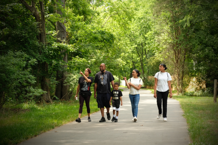
Six Mile Creek Greenway
0.9 miles of trail on Mecklenburg County’s southern border at Marvin Rd. that was developed in partnership with LUESA (Land Use and Environmental Services Agency).
-
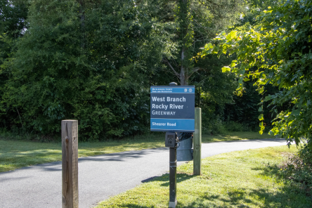
South Prong Rocky River Greenway
Operated by the Town of Davidson
4.5 miles of greenway trails and 5.2 miles of urban trail connecting downtown Davidson, downtown Cornelius, Bailey Rd. Park and numerous other destinations.
-
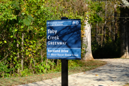
Toby Creek Greenway
2.9 miles from Mallard Creek Greenway near Kirk Farm Fields to Rocky River Road through the UNC Charlotte Campus. This trail is also part of the Cross Charlotte Trail. Toby Creek Greenway also connects to Mallard, Barton, and Clarks Creek Greenway trails.
-
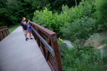
Torrence Creek and Torrence Tributary Greenways
2.4 miles from Gilead Rd. to Cedar River Rd. and Rosewood Meadow Ln.
-
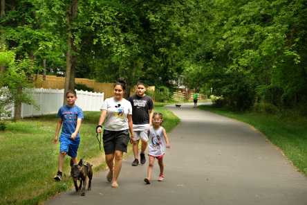
Walker Branch and Hoover Creek Greenways
1.1 miles from S Tryon St. to Smith Rd. Nearby Hoover Creek Greenway is 0.2 miles in length.
-
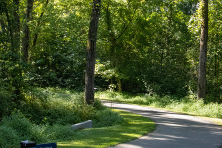
West Branch Rocky River and Abersham Greenways
3.6 miles within Abersham Park and Fisher Farm Parks, with connections to Iredell County. An additional 2.66 miles of Fisher Farm Greenway and West Branch Rocky River Greenways are available with parking on Shearer Road and Ryker Way. A portion of West Branch Rocky River Greenway also connects to the South Prong Rocky River Greenway system.

